2015
TR0846 : From the edge of Hurst Wood toward Wye Down
taken 9 years ago, near to Hassell Street, Kent, England
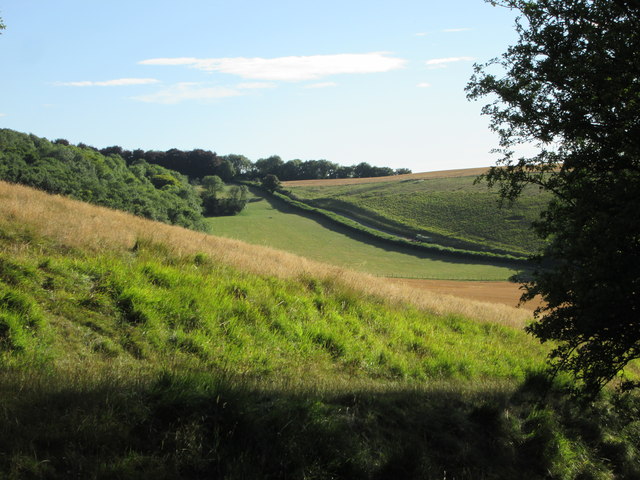
From the edge of Hurst Wood toward Wye Down
The access road from Coombe Manor goes across the centre of the photo
 Map © Crown Copyright")
TIP: Click the map for more Large scale mapping
- Grid Square
- TR0846, 42 images (more nearby 🔍)
- Photographer
- Martin Dawes (more nearby)
- Date Taken
- Sunday, 9 August, 2015 (more nearby)
- Submitted
- Tuesday, 18 August, 2015
- Subject Location
-
OSGB36:
 TR 0813 4610 [10m precision]
WGS84: 51:10.5746N 0:58.5727E - Camera Location
-
OSGB36: TR 0842 4629
- View Direction
- West-southwest (about 247 degrees)