2015
SO6114 : A4136 nears Mirystock Crossroads
taken 9 years ago, near to Upper Lydbrook, Gloucestershire, England
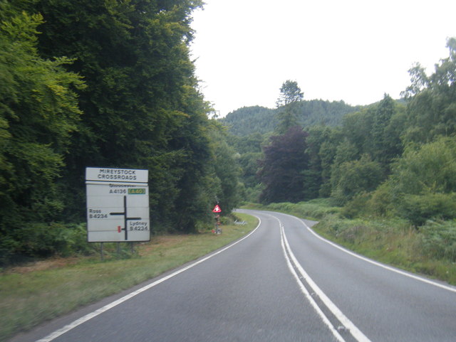
A4136 nears Mirystock Crossroads
 Map © Crown Copyright")
TIP: Click the map for more Large scale mapping
- Grid Square
- SO6114, 67 images (more nearby 🔍)
- Photographer
- Colin Pyle (more nearby)
- Date Taken
- Friday, 7 August, 2015 (more nearby)
- Submitted
- Friday, 21 August, 2015
- Subject Location
-
OSGB36:
 SO 6116 1455 [10m precision]
WGS84: 51:49.6924N 2:33.8999W - Camera Location
-
OSGB36: SO 6109 1457
- View Direction
- EAST (about 90 degrees)