2015
NN3339 : Allt Coire a'Ghathalach
taken 9 years ago, 4 km E of Bridge of Orchy, Argyll And Bute, Scotland
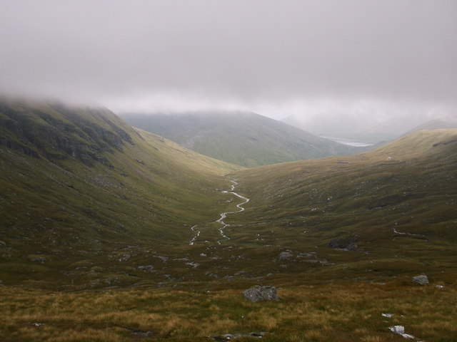
Allt Coire a'Ghathalach
View of the burn from the Beinn Dorain hill path.
 Map © Crown Copyright")
TIP: Click the map for more Large scale mapping
- Grid Square
- NN3339, 7 images (more nearby 🔍)
- Photographer
- Iain Russell (more nearby)
- Date Taken
- Saturday, 22 August, 2015 (more nearby)
- Submitted
- Saturday, 22 August, 2015
- Subject Location
-
OSGB36:
 NN 333 398 [100m precision]
WGS84: 56:31.2424N 4:42.6574W - Camera Location
-
OSGB36: NN 324 396
- View Direction
- East-northeast (about 67 degrees)