2015
TL5126 : Pennington Lane
taken 9 years ago, near to Ugley Green, Essex, England
This is 1 of 5 images, with title Pennington Lane in this square
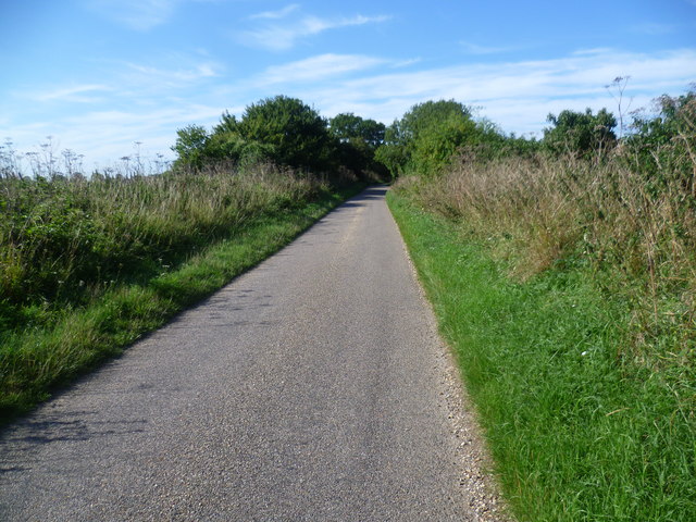
Pennington Lane
Pennington Lane leads into Stansted Mountfitchet just over half a mile ahead.
 Map © Crown Copyright")
TIP: Click the map for more Large scale mapping
- Grid Square
- TL5126, 29 images (more nearby 🔍)
- Photographer
- Marathon (more nearby)
- Date Taken
- Saturday, 22 August, 2015 (more nearby)
- Submitted
- Sunday, 23 August, 2015
- Subject Location
-
OSGB36:
 TL 5105 2671 [10m precision]
WGS84: 51:55.1060N 0:11.6964E - Camera Location
-
OSGB36: TL 5110 2679
- View Direction
- South-southwest (about 202 degrees)