2015
SD9076 : Peat Haggs and Sink Holes
taken 9 years ago, near to Litton, North Yorkshire, England
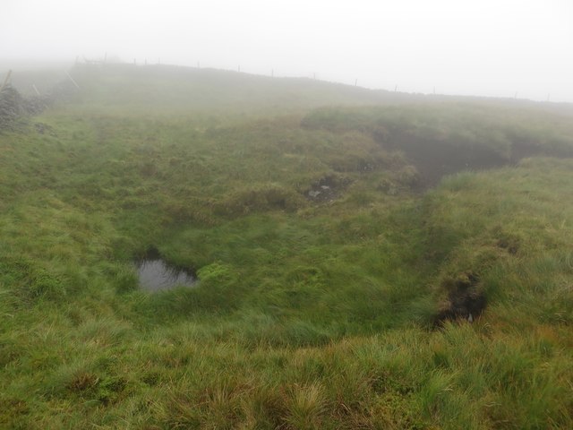
Peat Haggs and Sink Holes
Walking across the top of Moss Top between Out Moor and Horse Head peat haggs, sink holes and low cloud made an interesting navigational challenge.
 Map © Crown Copyright")
TIP: Click the map for more Large scale mapping
- Grid Square
- SD9076, 6 images (more nearby 🔍)
- Photographer
- Graham Robson (more nearby)
- Date Taken
- Thursday, 6 August, 2015 (more nearby)
- Submitted
- Tuesday, 25 August, 2015
- Subject Location
-
OSGB36:
 SD 9060 7642 [10m precision]
WGS84: 54:11.0081N 2:8.7318W - Camera Location
-
OSGB36: SD 9061 7642
- View Direction
- West-northwest (about 292 degrees)