2015
NC8802 : Path in Uppat Wood
taken 9 years ago, near to Doll, Highland, Scotland
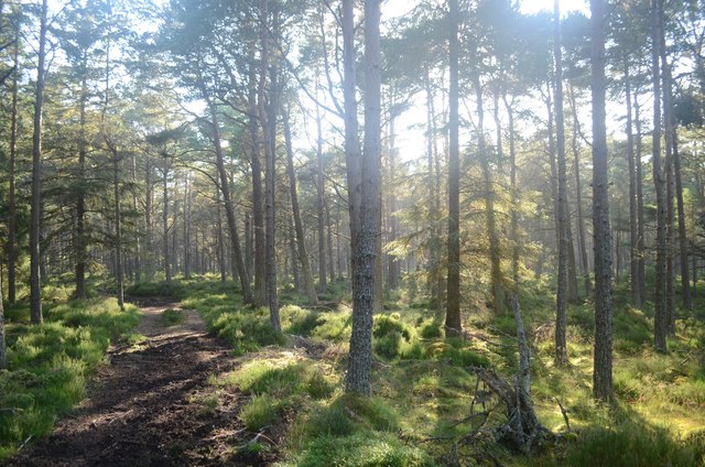
Path in Uppat Wood
There is a network of footpaths in this area of Uppat Woods (between the A9 and the quarry) which is not shown on Ordnance Survey. A lot of the paths have been used for horse riding and are quite muddy.
 Map © Crown Copyright")
TIP: Click the map for more Large scale mapping
- Grid Square
- NC8802, 37 images (more nearby 🔍)
- Photographer
- Andrew Tryon (more nearby)
- Date Taken
- Sunday, 23 August, 2015 (more nearby)
- Submitted
- Wednesday, 26 August, 2015
- Subject Location
-
OSGB36:
 NC 8803 0260 [10m precision]
WGS84: 57:59.9077N 3:53.7591W - Camera Location
-
OSGB36: NC 8805 0262
- View Direction
- Southwest (about 225 degrees)