2015
SO6989 : Footpath in a field of wheat
taken 9 years ago, near to Glazeley, Shropshire, England
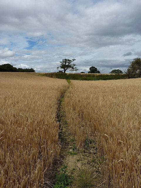
Footpath in a field of wheat
The path here leads from Eudon Burnell towards the point quite close to where SO7090 : B4363 at Marlbrook Bridge was taken.
 Map © Crown Copyright")
TIP: Click the map for more Large scale mapping
- Grid Square
- SO6989, 9 images (more nearby 🔍)
- Photographer
- Richard Law (more nearby)
- Date Taken
- Sunday, 9 August, 2015 (more nearby)
- Submitted
- Thursday, 27 August, 2015
- Subject Location
-
OSGB36:
 SO 6988 8955 [10m precision]
WGS84: 52:30.1806N 2:26.7091W - Camera Location
-
OSGB36: SO 69853 89532
- View Direction
- East-northeast (about 67 degrees)