2015
SU9809 : Lay-by beside Fairmile Bottom (A29)
taken 9 years ago, near to Madehurst, West Sussex, England
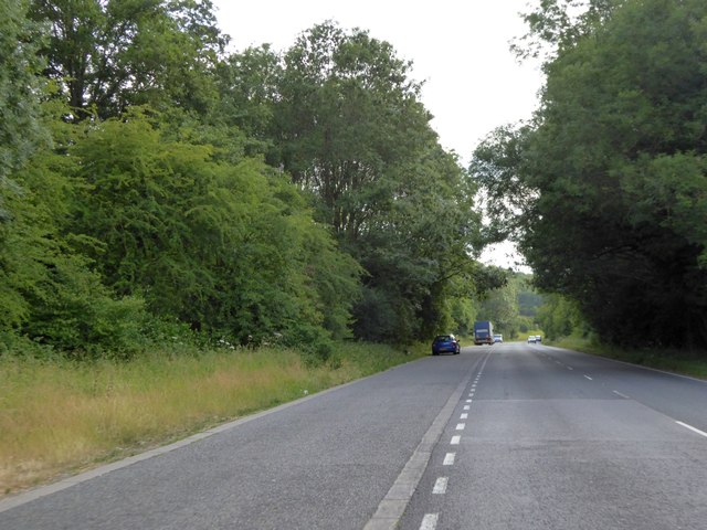
Lay-by beside Fairmile Bottom (A29)
One of several lay-bys which give access to paths into the woodland on the south
 Map © Crown Copyright")
TIP: Click the map for more Large scale mapping
- Grid Square
- SU9809, 68 images (more nearby 🔍)
- Photographer
- David Smith (more nearby)
- Date Taken
- Sunday, 5 July, 2015 (more nearby)
- Submitted
- Thursday, 27 August, 2015
- Subject Location
-
OSGB36:
 SU 9845 0919 [10m precision]
WGS84: 50:52.4301N 0:36.1287W - Camera Location
-
OSGB36: SU 9847 0921
- View Direction
- Southwest (about 225 degrees)