2015
NS0955 : The Airfield from the Plan Road, Bute
taken 9 years ago, near to Kingarth, Bute, Argyll And Bute, Scotland
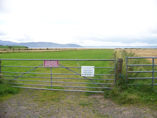
The Airfield from the Plan Road, Bute
 Map © Crown Copyright")
TIP: Click the map for more Large scale mapping
- Grid Square
- NS0955, 62 images (more nearby 🔍)
- Photographer
- Elliott Simpson (more nearby)
- Date Taken
- Tuesday, 25 August, 2015 (more nearby)
- Submitted
- Thursday, 3 September, 2015
- Subject Location
-
OSGB36:
 NS 0905 5572 [10m precision]
WGS84: 55:45.4232N 5:2.6771W - Camera Location
-
OSGB36: NS 0910 5573
- View Direction
- WEST (about 270 degrees)