2015
SP2336 : North Gloucestershire farmland
taken 9 years ago, near to Todenham, Gloucestershire, England
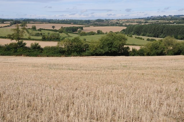
North Gloucestershire farmland
North Gloucestershire farmland on the border with Warwickshire near Todenham.
 Map © Crown Copyright")
TIP: Click the map for more Large scale mapping
- Grid Square
- SP2336, 26 images (more nearby 🔍)
- Photographer
- Philip Halling (more nearby)
- Date Taken
- Saturday, 29 August, 2015 (more nearby)
- Submitted
- Saturday, 5 September, 2015
- Subject Location
-
OSGB36:
 SP 2378 3660 [10m precision]
WGS84: 52:1.6385N 1:39.2891W - Camera Location
-
OSGB36: SP 2388 3656
- View Direction
- West-northwest (about 292 degrees)