2015
NM7090 : Ruin, Scamadale
taken 9 years ago, 3 km from Morar, Highland, Scotland
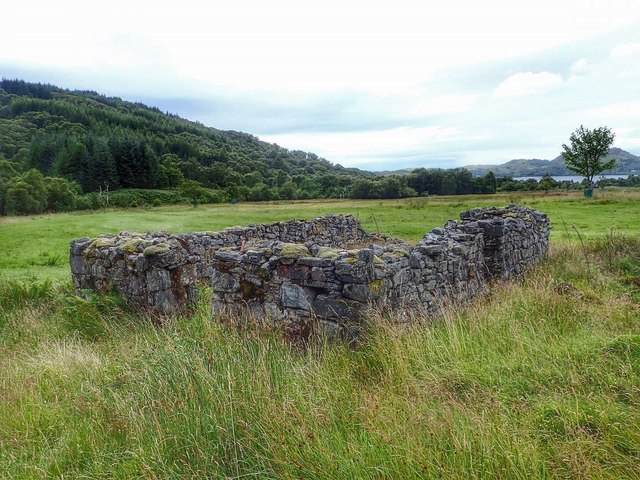
Ruin, Scamadale
Maybe of a croft or "black house".
Location is a close call. Only the nearer wall is in this grid square.
Location is a close call. Only the nearer wall is in this grid square.
 Map © Crown Copyright")
TIP: Click the map for more Large scale mapping
- Grid Square
- NM7090, 9 images (more nearby 🔍)
- Photographer
- Mick Garratt (more nearby)
- Date Taken
- Thursday, 20 August, 2015 (more nearby)
- Submitted
- Saturday, 5 September, 2015
- Subject Location
-
OSGB36:
 NM 7000 9004 [10m precision]
WGS84: 56:56.6571N 5:46.9871W - Camera Location
-
OSGB36: NM 7000 9003
- View Direction
- North-northwest (about 337 degrees)