2015
TG3913 : Track past The Doles
taken 9 years ago, near to Upton, Norfolk, England
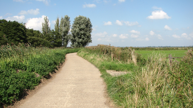
Track past The Doles
Upton Broad and Marshes - in the care of the Norfolk Wildlife Trust - consists of 300 hectares of open water, fen, reed beds, carr, woodland, grazing marshes and arable land, and most of the site is nationally and internationally recognised for its rich assemblage of wetland habitats and species.
 Map © Crown Copyright")
TIP: Click the map for more Large scale mapping
- Grid Square
- TG3913, 73 images (more nearby 🔍)
- Photographer
- Evelyn Simak (more nearby)
- Date Taken
- Friday, 11 September, 2015 (more nearby)
- Submitted
- Friday, 11 September, 2015
- Subject Location
-
OSGB36:
 TG 3981 1339 [10m precision]
WGS84: 52:39.9082N 1:32.7030E - Camera Location
-
OSGB36: TG 3986 1327
- View Direction
- North-northwest (about 337 degrees)