2015
SK3720 : Moseley's Plantation from Ivanhoe Way
taken 9 years ago, near to Lount, Leicestershire, England
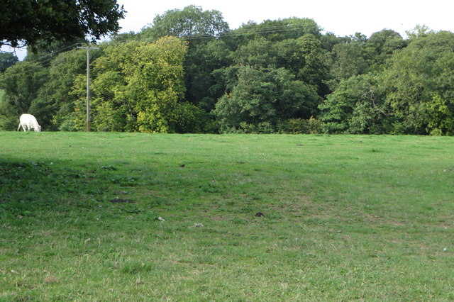
Moseley's Plantation from Ivanhoe Way
 Map © Crown Copyright")
TIP: Click the map for more Large scale mapping
- Grid Square
- SK3720, 50 images (more nearby 🔍)
- Photographer
- Philip Jeffrey (more nearby)
- Date Taken
- Wednesday, 9 September, 2015 (more nearby)
- Submitted
- Sunday, 13 September, 2015
- Subject Location
-
OSGB36:
 SK 3702 2008 [10m precision]
WGS84: 52:46.6226N 1:27.1589W - Camera Location
-
OSGB36: SK 3701 2000
- View Direction
- NORTH (about 0 degrees)