2015
SU8201 : Bridge, Salterns Lock
taken 9 years ago, near to Birdham, West Sussex, England
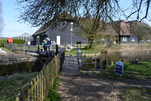
Bridge, Salterns Lock
What is known today as the Chichester Canal is in fact part of the former Portsmouth & Arundel Canal. This was opened in 1823.
In the late 1970s the Portsmouth & Arundel Canal Society was formed with the aim of restoring the canal. By the late 1990s they had reached the junction at Hunston and were working westwards along the main line towards Salterns.
However as work progressed further, the silting became worse, and by the time restoration reached the culverted Crosbie Bridge at Donnington where the road bridge currently forms a barrier to further progress.
Link
See other images of Chichester canal
 Map © Crown Copyright")
TIP: Click the map for more Large scale mapping
- Grid Square
- SU8201, 188 images (more nearby 🔍)
- Photographer
- N Chadwick (more nearby)
- Date Taken
- Sunday, 12 April, 2015 (more nearby)
- Submitted
- Wednesday, 16 September, 2015
- Subject Location
-
OSGB36:
 SU 8269 0113 [10m precision]
WGS84: 50:48.2302N 0:49.6738W - Camera Location
-
OSGB36: SU 8268 0113
- View Direction
- NORTH (about 0 degrees)