2015
SD6368 : The upper part of the Clear Beck valley
taken 9 years ago, near to Mill Houses, Lancashire, England
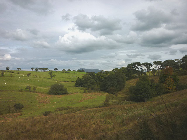
The upper part of the Clear Beck valley
A secluded and completely rural tributary of the River Hindburn which it joins just east of Wray. Ingleborough can be seen just overtopping the skyline.
 Map © Crown Copyright")
TIP: Click the map for more Large scale mapping
- Grid Square
- SD6368, 11 images (more nearby 🔍)
- Photographer
- Karl and Ali (more nearby)
- Date Taken
- Sunday, 13 September, 2015 (more nearby)
- Submitted
- Friday, 18 September, 2015
- Subject Location
-
OSGB36:
 SD 6304 6808 [10m precision]
WGS84: 54:6.4359N 2:34.0070W - Camera Location
-
OSGB36: SD 6269 6797
- View Direction
- East-northeast (about 67 degrees)