2015
SS8949 : The Eastern limit of Porlock Bay viewed from The South West Coastal Path
taken 9 years ago, near to Bossington, Somerset, England
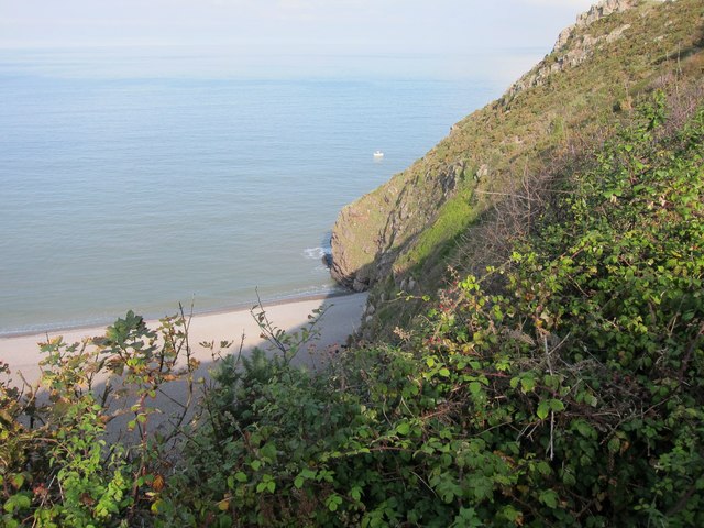
The Eastern limit of Porlock Bay viewed from The South West Coastal Path
 Map © Crown Copyright")
TIP: Click the map for more Large scale mapping
- Grid Square
- SS8949, 49 images (more nearby 🔍)
- Photographer
- Dr Duncan Pepper (more nearby)
- Date Taken
- Saturday, 19 September, 2015 (more nearby)
- Submitted
- Monday, 21 September, 2015
- Subject Location
-
OSGB36:
 SS 8987 4910 [10m precision]
WGS84: 51:13.8256N 3:34.7213W - Camera Location
-
OSGB36: SS 8995 4901
- View Direction
- Northwest (about 315 degrees)