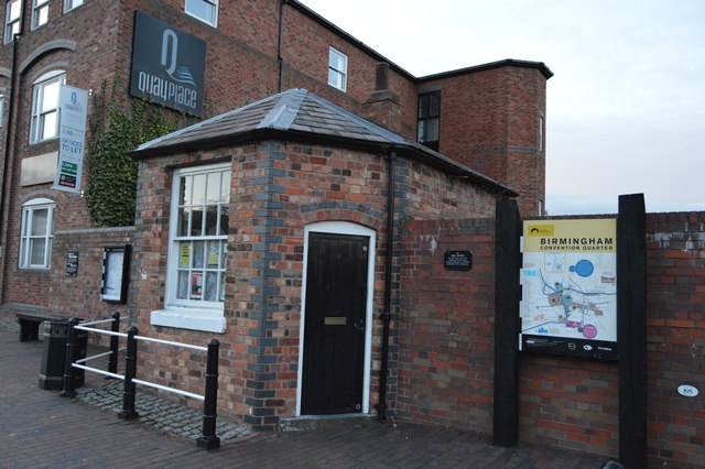
SP0687 : Lock Keeper's Toll House
taken 9 years ago, near to Birmingham, England
The Birmingham and Fazeley Canal is part of the Birmingham Canal Navigations. It forms a link between the Coventry Canal and Birmingham and thereby connects Birmingham to London via the Oxford Canal.
The canal was completed in 1789.
Wikipedia: Link
A series of 13 locks that raise the Birmingham and Fazeley Canal from west of Aston Junction to its junction with the Birmingham Main Line and Birmingham & Worcester Canals.
Listed buildings and structures are officially designated as being of special architectural, historical or cultural significance. There are over half a million listed structures in the United Kingdom, covered by around 375,000 listings.
Listed status is more commonly associated with buildings or groups of buildings, however it can cover many other structures, including bridges, headstones, steps, ponds, monuments, walls, phone boxes, wrecks, parks, and heritage sites, and in more recent times a road crossing (Abbey Road) and graffiti art (Banksy 'Spy-booth') have been included.
In England and Wales there are three main listing designations;
Grade I (2.5%) - exceptional interest, sometimes considered to be internationally important.
Grade II* (5.5%) - particularly important buildings of more than special interest.
Grade II (92%) - nationally important and of special interest.
There are also locally listed structures (at the discretion of local authorities) using A, B and C designations.
In Scotland three classifications are also used but the criteria are different. There are around 47,500 Listed buildings.
Category A (8%)- generally equivalent to Grade I and II* in England and Wales
Category B (51%)- this appears generally to cover the ground of Grade II, recognising national importance.
Category C (41%)- buildings of local importance, probably with some overlap with English Grade II.
In Northern Ireland the criteria are similar to Scotland, but the classifications are:
Grade A (2.3%)
Grade B+ (4.7%)
Grade B (93%)
Read more at Wikipedia Link
 Map © Crown Copyright")
- Grid Square
- SP0687, 1610 images (more nearby 🔍)
- Photographer
- N Chadwick (more nearby)
- Date Taken
- Tuesday, 17 February, 2015 (more nearby)
- Submitted
- Tuesday, 22 September, 2015
- Subject Location
-
OSGB36:
 SP 0606 8700 [10m precision]
WGS84: 52:28.8535N 1:54.7319W - Camera Location
-
OSGB36: SP 0607 8700
- View Direction
- Northwest (about 315 degrees)