2015
TQ3212 : Bridleway across the top of Hog Trough Bottom
taken 9 years ago, near to Westmeston, East Sussex, England
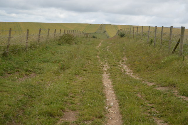
Bridleway across the top of Hog Trough Bottom
The South Downs is one of the four areas of chalk downland in southern England. They extend from the eastern side of Hampshire through Sussex, culminating in the cliffs at Beachy Head.
The South Downs is England's newest National Park, its designation taking effect on March 31, 2010. There are many Sites of Special Scientific Interest within the park.
The area is relatively unpopulated, although along its southern periphery there is an almost uninterrupted ribbon of seaside towns. It is extremely popular with walkers, having one principal long distance footpath, the South Downs Way, and many interconnecting ones. There are three principal gaps in the upland through which rivers flow; and there are also many dry valleys along its length.
The South Downs have a long history; there are archaeological remains from Neolithic times. Until the middle of the 20th century, sheep-rearing was the main occupation of those living on the Downs.
At 886ft, Butser Hill is the highest point of the South Downs.
Extract from Wikipedia Link
See other images of South Downs
 Map © Crown Copyright")
TIP: Click the map for more Large scale mapping
- Grid Square
- TQ3212, 41 images (more nearby 🔍)
- Photographer
- N Chadwick (more nearby)
- Date Taken
- Sunday, 12 July, 2015 (more nearby)
- Submitted
- Friday, 25 September, 2015
- Subject Location
-
OSGB36:
 TQ 3293 1259 [10m precision]
WGS84: 50:53.8499N 0:6.6665W - Camera Location
-
OSGB36: TQ 3293 1249
- View Direction
- NORTH (about 0 degrees)