2015
SH5037 : Heol Henbont - Henbont Road
taken 9 years ago, near to Criccieth, Gwynedd, Wales
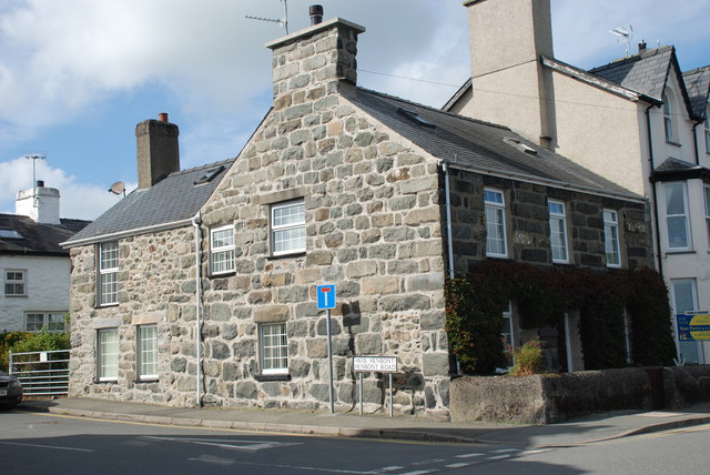
Heol Henbont - Henbont Road
 Map © Crown Copyright")
TIP: Click the map for more Large scale mapping
- Grid Square
- SH5037, 242 images (more nearby 🔍)
- Photographer
- Alan Fryer (more nearby)
- Date Taken
- Friday, 25 September, 2015 (more nearby)
- Submitted
- Friday, 25 September, 2015
- Subject Location
-
OSGB36:
 SH 5002 3794 [10m precision]
WGS84: 52:55.0728N 4:13.9278W - Camera Location
-
OSGB36: SH 5006 3792
- View Direction
- West-northwest (about 292 degrees)