2015
TL5468 : Public road over Sedge Fen south of Upware
taken 9 years ago, near to River Bank, Cambridgeshire, England
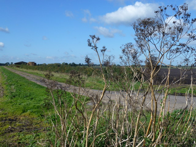
Public road over Sedge Fen south of Upware
For a reverse view of this road which appears to have been abandoned by the local highways department see Link
 Map © Crown Copyright")
TIP: Click the map for more Large scale mapping
- Grid Square
- TL5468, 27 images (more nearby 🔍)
- Photographer
- Richard Humphrey (more nearby)
- Date Taken
- Friday, 25 September, 2015 (more nearby)
- Submitted
- Sunday, 27 September, 2015
- Subject Location
-
OSGB36:
 TL 5481 6821 [10m precision]
WGS84: 52:17.4131N 0:16.1047E - Camera Location
-
OSGB36: TL 5497 6829
- View Direction
- West-southwest (about 247 degrees)