2015
TL9839 : Footpath through wood, near Sprotts Hall, Polstead
taken 9 years ago, near to Polstead Heath, Suffolk, England
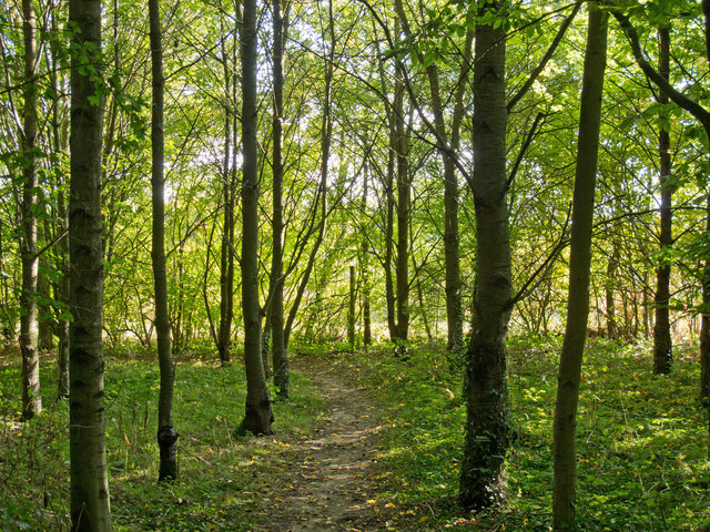
Footpath through wood, near Sprotts Hall, Polstead
Polstead is a village and civil parish in Babergh, Suffolk, England. In 2011 it had a population of 851 Link . Polstead includes the hamlets of Bower House Tye, Hadleigh Heath, Mill Street, Polstead Heath and Whitestreet Green Link. Polstead was the location of the Red Barn Murder on May 18th 1827 Link.
See other images of Polstead
See other images of Polstead
 Map © Crown Copyright")
TIP: Click the map for more Large scale mapping
- Grid Square
- TL9839, 11 images (more nearby 🔍)
- Photographer
- Roger Jones (more nearby)
- Date Taken
- Sunday, 20 September, 2015 (more nearby)
- Submitted
- Monday, 28 September, 2015
- Subject Location
-
OSGB36:
 TL 9887 3955 [10m precision]
WGS84: 52:1.1231N 0:53.8114E - Camera Location
-
OSGB36: TL 9887 3957
- View Direction
- SOUTH (about 180 degrees)