2015
SU2815 : Cadnam Common, ditch & embankment
taken 9 years ago, near to Newbridge, Hampshire, England
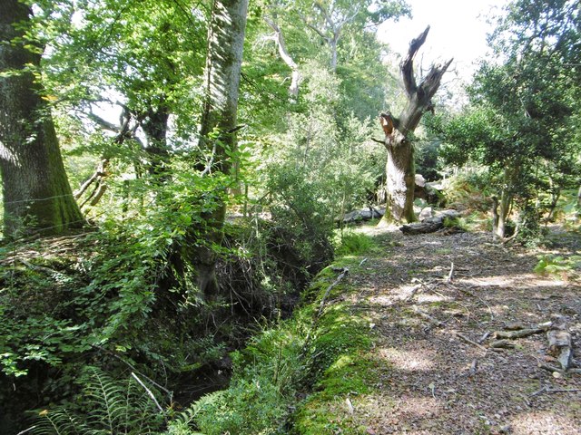
Cadnam Common, ditch & embankment
At the western boundary of the common.
 Map © Crown Copyright")
TIP: Click the map for more Large scale mapping
- Grid Square
- SU2815, 38 images (more nearby 🔍)
- Photographer
- Mike Faherty (more nearby)
- Date Taken
- Tuesday, 29 September, 2015 (more nearby)
- Submitted
- Wednesday, 30 September, 2015
- Subject Location
-
OSGB36:
 SU 2879 1509 [10m precision]
WGS84: 50:56.0726N 1:35.5001W - Camera Location
-
OSGB36: SU 2879 1509
- View Direction
- WEST (about 270 degrees)