2015
SD8961 : Cow Close Lane to Kirkby Malham
taken 9 years ago, near to Kirkby Malham, North Yorkshire, England
This is 1 of 5 images, with title starting with Cow Close in this square
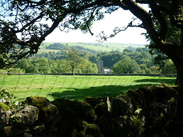
Cow Close Lane to Kirkby Malham
I am on Cow Close Lane just below Micklaw Hill and looking back to Kirkby Malham and the church of St Michael the Archangel below. Malhamdale, North Yorkshire.
 Map © Crown Copyright")
TIP: Click the map for more Large scale mapping
- Grid Square
- SD8961, 180 images (more nearby 🔍)
- Photographer
- Carroll Pierce (more nearby)
- Date Taken
- Sunday, 27 September, 2015 (more nearby)
- Submitted
- Sunday, 4 October, 2015
- Subject Location
-
OSGB36:
 SD 8934 6104 [10m precision]
WGS84: 54:2.7130N 2:9.8573W - Camera Location
-
OSGB36: SD 8902 6126
- View Direction
- Southeast (about 135 degrees)