2015
TQ3512 : South Downs Way
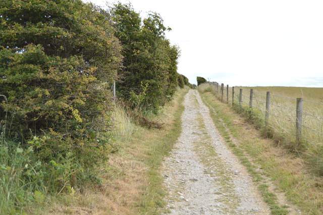
taken 9 years ago, near to Plumpton, East Sussex, England
This is 1 of 14 images, with title South Downs Way in this square
South Downs Way
The South Downs Way is a long distance footpath in Southern England and is one of Britain's National Trails. It runs for around 100 miles from Winchester in Hampshire to Eastbourne in Sussex, with a small loop around Eastbourne. The South Downs Way passes through the South Downs, a beautiful area which is now a National Park. The path mainly follows old routes and droveways along the Chalk escarpment. The majority of the path is a bridleway and so can be used by horse-riders and cyclists too.
More information is available from Link
See other images of South Downs Way
More information is available from Link
See other images of South Downs Way
 Map © Crown Copyright")
TIP: Click the map for more Large scale mapping
- Grid Square
- TQ3512, 86 images (more nearby 🔍)
- Photographer
- N Chadwick (more nearby)
- Date Taken
- Sunday, 12 July, 2015 (more nearby)
- Submitted
- Tuesday, 6 October, 2015
- Subject Location
-
OSGB36:
 TQ 3543 1272 [10m precision]
WGS84: 50:53.8852N 0:4.5319W - Camera Location
-
OSGB36: TQ 3540 1272
- View Direction
- EAST (about 90 degrees)