2015
ST7484 : Farmland near Ashlea Farm
taken 9 years ago, near to Horton, South Gloucestershire, England
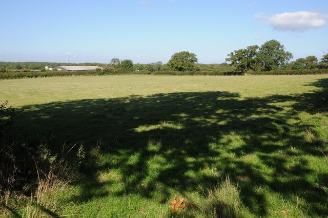
Farmland near Ashlea Farm
Farmland near Ashlea Farm to the north of Mapleridge Lane.
 Map © Crown Copyright")
TIP: Click the map for more Large scale mapping
- Grid Square
- ST7484, 8 images (more nearby 🔍)
- Photographer
- Philip Halling (more nearby)
- Date Taken
- Saturday, 26 September, 2015 (more nearby)
- Submitted
- Friday, 9 October, 2015
- Subject Location
-
OSGB36:
 ST 7438 8480 [10m precision]
WGS84: 51:33.6895N 2:22.2587W - Camera Location
-
OSGB36: ST 7441 8474
- View Direction
- North-northwest (about 337 degrees)