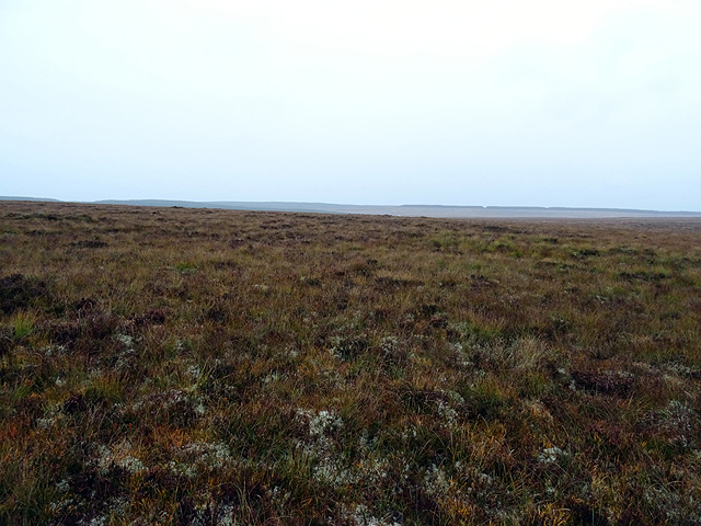
NC9746 : Flow Country bog
taken 9 years ago, near to Cnoc Maol Donn [hill or Mountain], Highland, Great Britain
Having made a brief foray into the Flow Country earlier this year (see Link ), I decided to return and walk from Altnabreac to Forsinard, with the prospect of capturing a few first Geographs and quite a few personal points. The walking distance between the two railway stations is about 15 miles 11 miles on forestry roads and then 4 miles along the A897 road from Forsinain to Forsinard - plus any extra required to gather off-piste squares along the way.
The current timetable had the earliest train arrival at Altnabreac from the south at 10:30 and the last return departure from Forsinard at 17:11 just over 6½ hours to cover the 15 miles. Not enough time for me, so an alternative plan was required. The only hotel for miles, that at Forsinard, sadly closed a few years ago and so the only option was to camp somewhere along the route.
The area of Flow Country between Altnabreac and Forsinard has changed considerably over recent years. In the 1980s much of the peat bog was planted with tax-break forestry. More recently, the RSPB has been granted Heritage Lottery and European funding to fell some 9 square miles of forestry in an attempt to restore the cleared areas to their original state. Maps have yet to show much of the felled areas and so provide no warning of the vast openness which is now encountered.
Unfortunately for me, on the first day of the walk, very light rain turned to steady drizzle which persisted well into the night. I did manage to capture three first Geographs along the way but my enthusiasm was literally dampened and so I let a few other possibles go - ones which would have required diverging some way from the main route. One of the highlights was a slight divergence to the shore of Loch Lèir where I captured a first Geograph. Somehow, the feeling of solitude and isolation is enhanced when beside a remote loch.
I camped after walking about 9 miles, in remaining forestry near Forsinain, mainly to get some relief from the continuous rain, and hoping that the forecast for dry weather the next day was accurate.
And then there were the stags! Several distant bellows indicated the inevitable presence of stags in the area. But in the late evening I was awakened by a bellow very close to the tent. Not wishing to be caught up in a rutting duel, I shouted and lit the tent with a torch. Im not sure if either of these helped, or if it was just the scent of human, but the nearby stag obviously decided that he should move on and I wasnt troubled again. Although the distant bellows did, of course, continue through the night. From previous experience in the Highlands, I have found that stags are really quite timid unless confronting each other. Hinds are slightly less timid but totally unaggressive.
The skies were clear the next day and so I was able to complete the walk to Forsinard, through Strath Halladale, in reasonable comfort, reaching the station in time for the 10:20 train.
 Map © Crown Copyright")
- Grid Square
- NC9746 (more nearby 🔍)
- Photographer
- John Lucas (more nearby)
- Date Taken
- Wednesday, 7 October, 2015 (more nearby)
- Submitted
- Friday, 9 October, 2015
- Subject Location
-
OSGB36:
 NC 9743 4607 [10m precision]
WGS84: 58:23.4585N 3:45.3720W - Camera Location
-
OSGB36: NC 97427 46029
- View Direction
- NORTH (about 0 degrees)