2015
SW6617 : Valley south of Mullion Cliff
taken 9 years ago, near to Mullion Cove, Cornwall, England
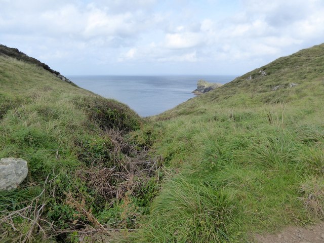
Valley south of Mullion Cliff
This valley divides Mullion Cliff from Higher Predannack Cliff
 Map © Crown Copyright")
TIP: Click the map for more Large scale mapping
- Grid Square
- SW6617, 135 images (more nearby 🔍)
- Photographer
- David Smith (more nearby)
- Date Taken
- Tuesday, 29 September, 2015 (more nearby)
- Submitted
- Sunday, 11 October, 2015
- Subject Location
-
OSGB36:
 SW 6644 1732 [10m precision]
WGS84: 50:0.6095N 5:15.6718W - Camera Location
-
OSGB36: SW 6647 1729
- View Direction
- Northwest (about 315 degrees)