2007
SJ0837 : Boundary between moor and improved land
taken 17 years ago, 4 km SE of Cynwyd, Denbighshire/Sir Ddinbych, Wales
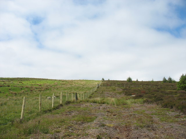
Boundary between moor and improved land
 Map © Crown Copyright")
TIP: Click the map for more Large scale mapping
- Grid Square
- SJ0837, 8 images (more nearby 🔍)
- Photographer
- Eric Jones (more nearby)
- Date Taken
- Thursday, 7 June, 2007 (more nearby)
- Submitted
- Monday, 18 June, 2007
- Subject Location
-
OSGB36:
 SJ 086 378 [100m precision]
WGS84: 52:55.8265N 3:21.5912W - Camera Location
-
OSGB36: SJ 087 379
- View Direction
- Southwest (about 225 degrees)