2015
NH5447 : Shore path from Muir of Ord to Tarradale beside the Beauly Firth
taken 9 years ago, near to Windhill, Highland, Scotland
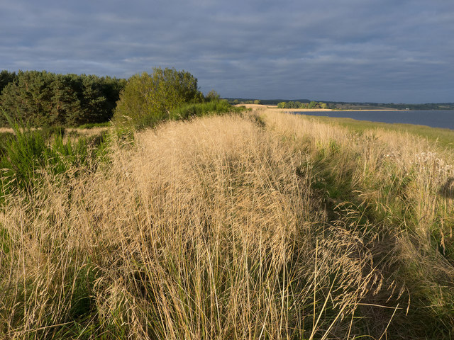
Shore path from Muir of Ord to Tarradale beside the Beauly Firth
A path that needs some trimming to keep it open, but worth the effort of combatting the high vegetation including gorse.
 Map © Crown Copyright")
TIP: Click the map for more Large scale mapping
- Grid Square
- NH5447, 25 images (more nearby 🔍)
- Photographer
- Julian Paren (more nearby)
- Date Taken
- Saturday, 17 October, 2015 (more nearby)
- Submitted
- Sunday, 18 October, 2015
- Subject Location
-
OSGB36:
 NH 5492 4780 [10m precision]
WGS84: 57:29.8266N 4:25.3491W - Camera Location
-
OSGB36: NH 54904 47786
- View Direction
- Northeast (about 45 degrees)