2015
ST7768 : Farmland in Ramscombe Bottom
taken 9 years ago, near to Northend, Bath And North East Somerset, England
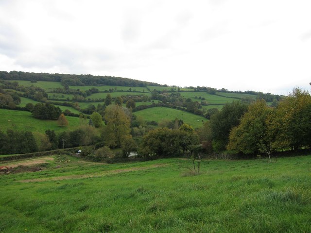
Farmland in Ramscombe Bottom
 Map © Crown Copyright")
TIP: Click the map for more Large scale mapping
- Grid Square
- ST7768, 17 images (more nearby 🔍)
- Photographer
- Dr Duncan Pepper (more nearby)
- Date Taken
- Sunday, 18 October, 2015 (more nearby)
- Submitted
- Sunday, 18 October, 2015
- Subject Location
-
OSGB36:
 ST 7745 6890 [10m precision]
WGS84: 51:25.1197N 2:19.5403W - Camera Location
-
OSGB36: ST 7739 6888
- View Direction
- East-northeast (about 67 degrees)