2015
SP4503 : Benchmark on The Farm house
taken 9 years ago, near to Cumnor, Oxfordshire, England
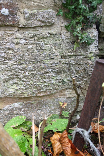
Benchmark on The Farm house
Ordnance Survey cut mark benchmark described on the Bench Mark Database at Link
 Map © Crown Copyright")
TIP: Click the map for more Large scale mapping
- Grid Square
- SP4503, 19 images (more nearby 🔍)
- Photographer
- Roger Templeman (more nearby)
- Date Taken
- Monday, 19 October, 2015 (more nearby)
- Submitted
- Wednesday, 21 October, 2015
- Subject Location
-
OSGB36:
 SP 4564 0389 [10m precision]
WGS84: 51:43.9124N 1:20.4325W - Camera Location
-
OSGB36: SP 4564 0389
- View Direction
- EAST (about 90 degrees)