2002
ND2239 : Upper Osclay
taken 22 years ago, 4 km ENE of Crofts of Benachielt, Highland, Scotland
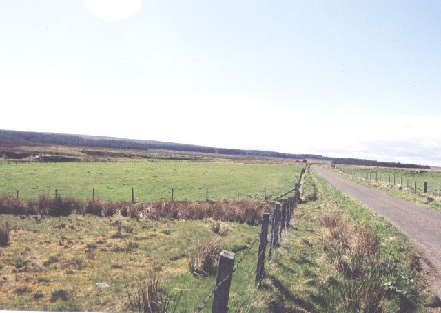
Upper Osclay
Now empty this area once even supported a school. The gable walls of the last occupied house can just be made out at the end of the road. It was abandoned around 1940.
 Map © Crown Copyright")
TIP: Click the map for more Large scale mapping
- Grid Square
- ND2239, 10 images (more nearby 🔍)
- Photographer
- Jim Bain (more nearby)
- Date Taken
- Sunday, 5 May, 2002 (more nearby)
- Submitted
- Wednesday, 31 August, 2005
- Subject Location
-
OSGB36:
 ND 220 391 [100m precision]
WGS84: 58:20.0514N 3:19.9833W - Camera Location
-
OSGB36: ND 224 391
- View Direction
- WEST (about 270 degrees)