2007
TR0065 : Saxon Shore Way footpath alongside The Swale
taken 17 years ago, near to Uplees, Kent, England
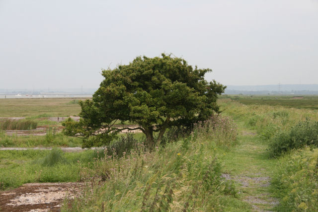
Saxon Shore Way footpath alongside The Swale
 Map © Crown Copyright")
TIP: Click the map for more Large scale mapping
- Grid Square
- TR0065, 68 images (more nearby 🔍)
- Photographer
- Jacqui Sadler (more nearby)
- Date Taken
- Tuesday, 19 June, 2007 (more nearby)
- Submitted
- Tuesday, 19 June, 2007
- Subject Location
-
OSGB36:
 TR 004 653 [100m precision]
WGS84: 51:21.1288N 0:52.5942E - Camera Location
-
OSGB36: TR 002 654
- View Direction
- East-southeast (about 112 degrees)