2007
TR0065 : Drainage ditch near Oare Marshes Nature Reserve
taken 17 years ago, near to Uplees, Kent, England
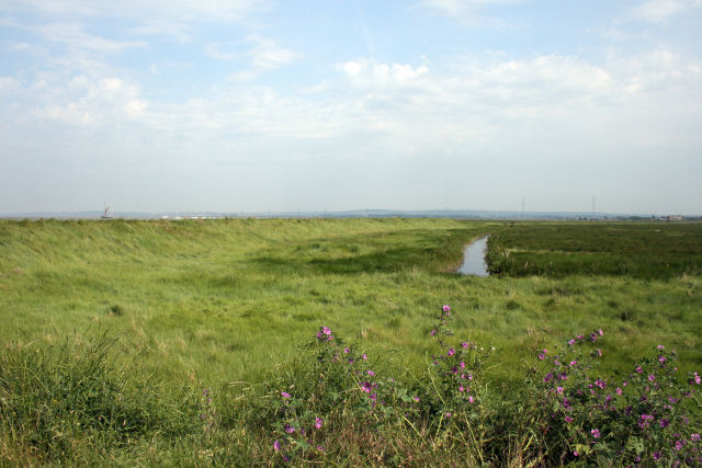
Drainage ditch near Oare Marshes Nature Reserve
 Map © Crown Copyright")
TIP: Click the map for more Large scale mapping
- Grid Square
- TR0065, 68 images (more nearby 🔍)
- Photographer
- Jacqui Sadler (more nearby)
- Date Taken
- Tuesday, 19 June, 2007 (more nearby)
- Submitted
- Wednesday, 20 June, 2007
- Subject Location
-
OSGB36:
 TR 007 650 [100m precision]
WGS84: 51:20.9483N 0:52.9104E - Camera Location
-
OSGB36: TR 005 652
- View Direction
- Southeast (about 135 degrees)