2015
SJ5571 : Delamere Forest
taken 8 years ago, near to Hatchmere, Cheshire West And Chester, England
This is 1 of 3 images, with title Delamere Forest in this square
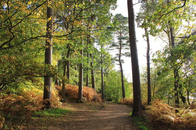
Delamere Forest
The forest as seen from the western side of Blakemere Moss. Delamere, which means "forest of the lakes", is all that remains of the great forests of Mara and Mondrem which covered over 60 square miles (160 km2) of this part of Cheshire. Established in the late 11th century, they were the hunting forests of the Norman Earls of Chester. Today the woodland, which is managed by the Forestry Commission, covers an area of 972 hectares (2,400 acres) making it the largest area of woodland in the county. It contains a mixture of deciduous and evergreen trees.
Source: Wikipedia
Source: Wikipedia
 Map © Crown Copyright")
TIP: Click the map for more Large scale mapping
- Grid Square
- SJ5571, 78 images (more nearby 🔍)
- Photographer
- Jeff Buck (more nearby)
- Date Taken
- Thursday, 22 October, 2015 (more nearby)
- Submitted
- Saturday, 31 October, 2015
- Subject Location
-
OSGB36:
 SJ 5556 7123 [10m precision]
WGS84: 53:14.1738N 2:40.0365W - Camera Location
-
OSGB36: SJ 5556 7124
- View Direction
- SOUTH (about 180 degrees)