2015
NY7638 : Footbridge over Clargill Burn
taken 9 years ago, 4 km SSE of Garrigill, Cumbria, England
This is 1 of 2 images, with title Footbridge over Clargill Burn in this square
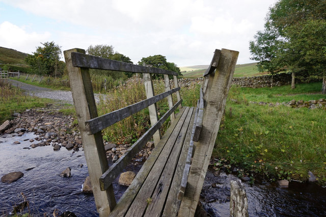
Footbridge over Clargill Burn
At Dorthgillfoot.
 Map © Crown Copyright")
TIP: Click the map for more Large scale mapping
- Grid Square
- NY7638, 35 images (more nearby 🔍)
- Photographer
- Ian S (more nearby)
- Date Taken
- Thursday, 8 October, 2015 (more nearby)
- Submitted
- Sunday, 1 November, 2015
- Subject Location
-
OSGB36:
 NY 7615 3801 [10m precision]
WGS84: 54:44.1895N 2:22.3156W - Camera Location
-
OSGB36: NY 7615 3799
- View Direction
- NORTH (about 0 degrees)