2007
TF9435 : North towards Boundary Plantation
taken 17 years ago, near to Great Snoring, Norfolk, England
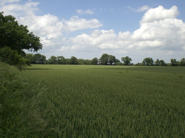
North towards Boundary Plantation
Across wheat from green lane from Great Snoring
 Map © Crown Copyright")
TIP: Click the map for more Large scale mapping
- Grid Square
- TF9435, 17 images (more nearby 🔍)
- Photographer
- Nigel Jones (more nearby)
- Date Taken
- Wednesday, 20 June, 2007 (more nearby)
- Submitted
- Thursday, 21 June, 2007
- Subject Location
-
OSGB36:
 TF 941 353 [100m precision]
WGS84: 52:52.8078N 0:52.9841E - Camera Location
-
OSGB36: TF 941 351
- View Direction
- NORTH (about 0 degrees)