2015
SO9568 : Sugarbrook Lane
taken 8 years ago, near to Stoke Wharf, Worcestershire, England
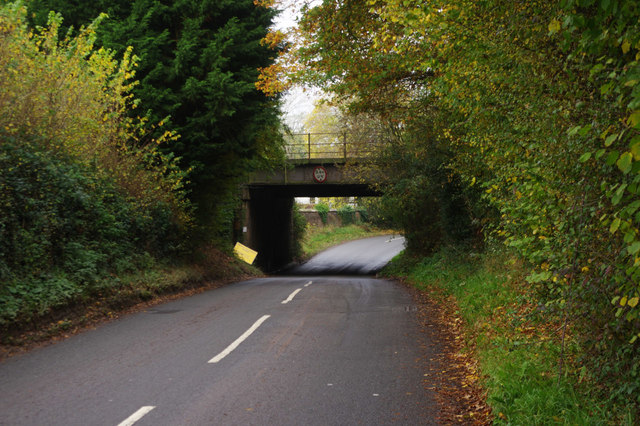
Sugarbrook Lane
Leading up to the bridge under the railway between Bromsgrove Station and Stoke Works Junction.
 Map © Crown Copyright")
TIP: Click the map for more Large scale mapping
- Grid Square
- SO9568, 235 images (more nearby 🔍)
- Photographer
- Stephen McKay (more nearby)
- Date Taken
- Saturday, 31 October, 2015 (more nearby)
- Submitted
- Sunday, 8 November, 2015
- Subject Location
-
OSGB36:
 SO 9595 6808 [10m precision]
WGS84: 52:18.6490N 2:3.6496W - Camera Location
-
OSGB36: SO 9599 6807
- View Direction
- West-northwest (about 292 degrees)