TG1510 : Dereham Road Link to A47 Norwich Southern Bypass
taken 9 years ago, near to Bawburgh, Norfolk, England
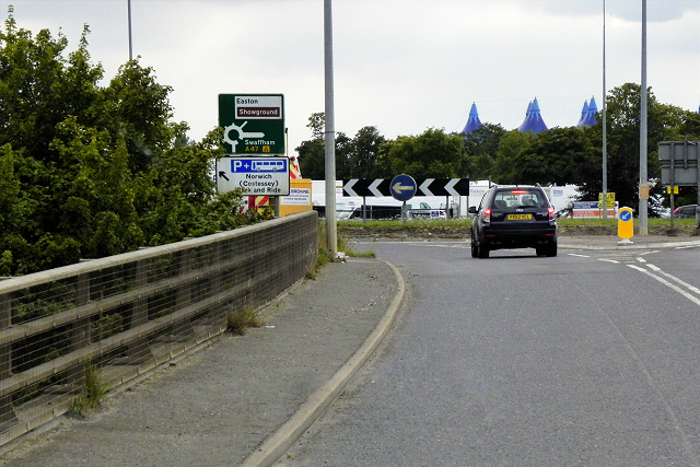
The current A1074 came into existence in the 1970s when the A47 was rerouted away from Norwich city centre. That road was moved onto the outer ring road (formerly the A1074) and the A1074 number moved onto the section of A47 vacated. Today, it runs for approximately 4 miles from its junction with the A47 at New Costessey to the A147 Norwich Inner Ring Road (Link
SABRE).
The A47 is a key trunk road connecting Great Yarmouth, on the east coast of Norfolk, to the city of Birmingham in the West Midlands; a distance of 182 miles. However, most of the 17-mile-long section between Nuneaton and Castle Bromwich which was part of the original route has now been reclassified as the B4114.
The A47 is partly a holiday road, through West Midlands, Warwickshire, Leicestershire, Rutland, Cambridgeshire, and Norfolk, since it ends in Great Yarmouth, a tourist destination with a beach. On the way it passes the city of Norwich and the Norfolk Broads, both popular tourist destinations in their own right. Its other main function is the transport of goods by road to and from the A1 into Norfolk, North Suffolk and the ports at Great Yarmouth and Lowestoft.
Link
 Map © Crown Copyright")
- Grid Square
- TG1510, 64 images (more nearby 🔍)
- Photographer
- David Dixon (more nearby)
- Date Taken
- Friday, 7 August, 2015 (more nearby)
- Submitted
- Sunday, 8 November, 2015
- Subject Location
-
OSGB36:
 TG 155 105 [100m precision]
WGS84: 52:39.0006N 1:11.0954E - Camera Location
-
OSGB36: TG 155 106
- View Direction
- Southwest (about 225 degrees)