2015
SK0387 : Junction of Swallow House Lane and Glossop Road
taken 9 years ago, near to Hayfield, Derbyshire, England
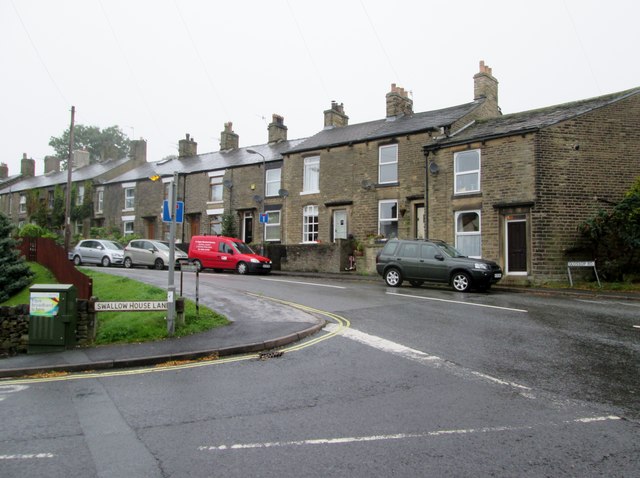
Junction of Swallow House Lane and Glossop Road
 Map © Crown Copyright")
TIP: Click the map for more Large scale mapping
- Grid Square
- SK0387, 62 images (more nearby 🔍)
- Photographer
- Martin Dawes (more nearby)
- Date Taken
- Tuesday, 15 September, 2015 (more nearby)
- Submitted
- Sunday, 8 November, 2015
- Subject Location
-
OSGB36:
 SK 0362 8720 [10m precision]
WGS84: 53:22.8982N 1:56.8226W - Camera Location
-
OSGB36: SK 0362 8717
- View Direction
- NORTH (about 0 degrees)