2015
J3471 : "The Embankment", Belfast (November 2015)
taken 8 years ago, 3 km from Belfast, Co Antrim, Northern Ireland
"The Embankment", Belfast (November 2015)
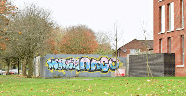
Time for another look at this now-forgotten victim of the recession. The undeveloped part of the site (now being taken over by nature) is behind the graffiti-covered hoarding.
"The Embankment" development, Annadale Embankment, Belfast
A large-scale development of apartment and houses on the eastern side of the Annadale Embankment. Work stopped when an administrator was appointed to the development group in May 2011.
Work restarted, with a new developer, in 2017.
Loading map... (JavaScript required)
- Grid Square
- J3471, 273 images (more nearby 🔍)
- Photographer
- Albert Bridge (more nearby)
- Date Taken
- Monday, 9 November, 2015 (more nearby)
- Submitted
- Monday, 9 November, 2015
- Subject Location
-
Irish:
 J 341 712 [100m precision]
WGS84: 54:34.3099N 5:55.5850W - Camera Location
-
Irish: J 341 712
- View Direction
- Northwest (about 315 degrees)