2013
TL0974 : Path to Church End
taken 11 years ago, near to Catworth, Cambridgeshire, England
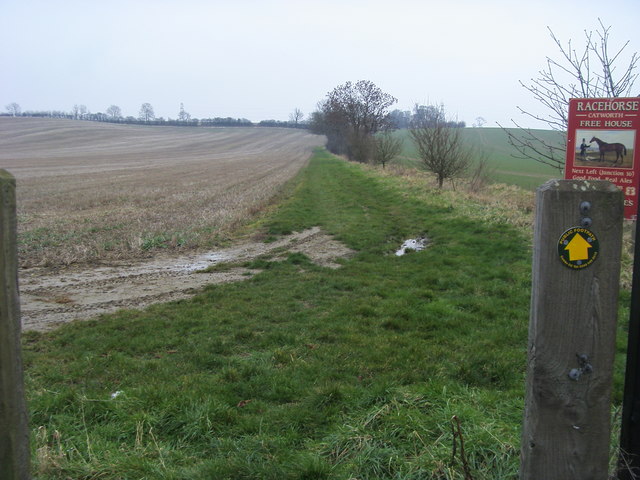
Path to Church End
From the layby on the A14 the path to Church End
 Map © Crown Copyright")
TIP: Click the map for more Large scale mapping
- Grid Square
- TL0974, 11 images (more nearby 🔍)
- Photographer
- Shaun Ferguson (more nearby)
- Date Taken
- Tuesday, 12 February, 2013 (more nearby)
- Submitted
- Wednesday, 11 November, 2015
- Subject Location
-
OSGB36:
 TL 0969 7411 [10m precision]
WGS84: 52:21.2454N 0:23.4526W - Camera Location
-
OSGB36: TL 0973 7419
- View Direction
- South-southwest (about 202 degrees)