2015
TQ8057 : Footpath between Thurnham church and Detling
taken 8 years ago, near to Thurnham, Kent, England
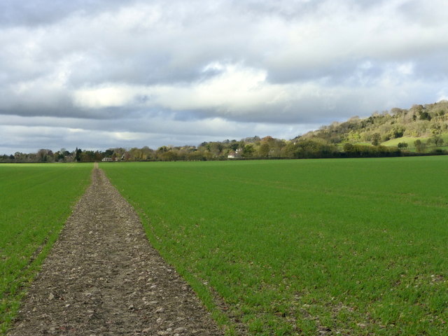
Footpath between Thurnham church and Detling
This good, straight footpath leads through farmland and an old orchard to The Street, Detling. The village and church can be seen in the distance.
 Map © Crown Copyright")
TIP: Click the map for more Large scale mapping
- Grid Square
- TQ8057, 59 images (more nearby 🔍)
- Photographer
- pam fray (more nearby)
- Date Taken
- Thursday, 12 November, 2015 (more nearby)
- Submitted
- Thursday, 12 November, 2015
- Subject Location
-
OSGB36:
 TQ 8007 5776 [10m precision]
WGS84: 51:17.4301N 0:34.8660E - Camera Location
-
OSGB36: TQ 8023 5769
- View Direction
- West-northwest (about 292 degrees)