2015
SN5613 : Ordnance Survey Flush Bracket S1167
taken 9 years ago, near to Gorslas, Carmarthenshire/Sir Gaerfyrddin, Wales
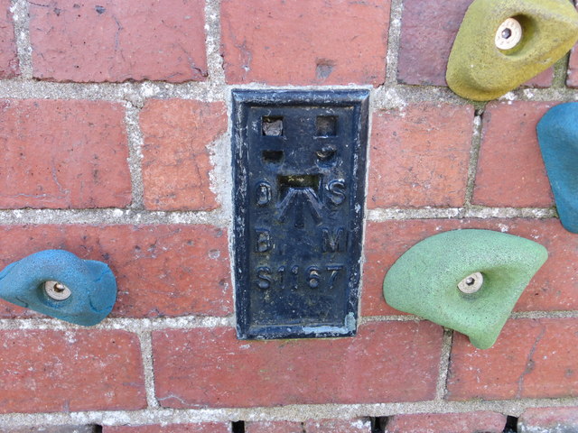
Ordnance Survey Flush Bracket S1167
This can be found on the wall of Gorslas School. Visited and photographed with the kind permission of the Head Teacher.
For more detail see : Link
For more detail see : Link
 Map © Crown Copyright")
TIP: Click the map for more Large scale mapping
- Grid Square
- SN5613, 23 images (more nearby 🔍)
- Photographer
- Peter Wood (more nearby)
- Date Taken
- Monday, 20 April, 2015 (more nearby)
- Submitted
- Thursday, 19 November, 2015
- Subject Location
-
OSGB36:
 SN 56968 13634 [1m precision]
WGS84: 51:48.1801N 4:4.5501W