2014
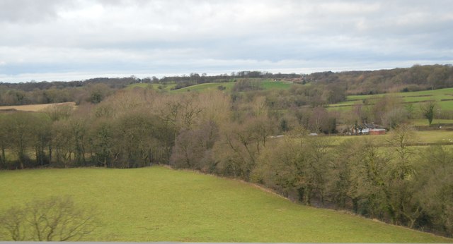
SJ8965 : River Dane
taken 9 years ago, near to North Rode, Cheshire East, England
This is 1 of 3 images, with title River Dane in this square
River Dane
The River Dane flows through Cheshire.
The river rises close to the source of the River Goyt just to the south west of Buxton, on Axe Edge Moor. Flowing southwest, it forms the border between Cheshire, Derbyshire and Staffordshire for around 10 miles before flowing west through Congleton and past Holmes Chapel.
The point on the river where the three counties meet, at Panniers' Pool Bridge, is called the Three Shire Heads.
Passing just to the north of Middlewich, it merges first with the River Croco near the site of the old Roman fort in Harbutt's Field, and then with the River Wheelock near the aqueduct carrying the Trent and Mersey Canal, and runs the remaining five miles north to Northwich where it flows into the River Weaver.
See other images of River Dane
 Map © Crown Copyright")
TIP: Click the map for more Large scale mapping
- Grid Square
- SJ8965, 62 images (more nearby 🔍)
- Photographer
- N Chadwick (more nearby)
- Date Taken
- Sunday, 21 December, 2014 (more nearby)
- Submitted
- Friday, 20 November, 2015
- Subject Location
-
OSGB36:
 SJ 8947 6569 [10m precision]
WGS84: 53:11.2917N 2:9.5426W - Camera Location
-
OSGB36: SJ 8960 6566
- View Direction
- West-northwest (about 292 degrees)