2015
NZ2092 : Earsdon Burn
taken 8 years ago, near to Tritlington, Northumberland, England
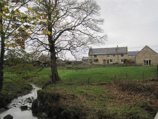
Earsdon Burn
 Map © Crown Copyright")
TIP: Click the map for more Large scale mapping
- Grid Square
- NZ2092, 34 images (more nearby 🔍)
- Photographer
- Les Hull (more nearby)
- Date Taken
- Tuesday, 17 November, 2015 (more nearby)
- Submitted
- Monday, 23 November, 2015
- Subject Location
-
OSGB36:
 NZ 2053 9263 [10m precision]
WGS84: 55:13.6480N 1:40.7271W - Camera Location
-
OSGB36: NZ 2062 9258
- View Direction
- West-northwest (about 292 degrees)