2015
NN6278 : The Pass of Druimochter
taken 8 years ago, near to Allt an Tuirc [water Feature], Highland, Great Britain
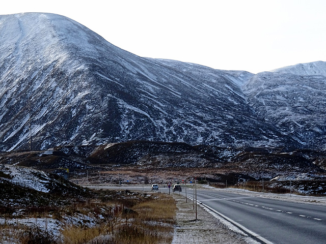
The Pass of Druimochter
The Boar of Badenoch/An Torc dominates on the left.
 Map © Crown Copyright")
TIP: Click the map for more Large scale mapping
- Grid Square
- NN6278, 47 images (more nearby 🔍)
- Photographer
- John Lucas (more nearby)
- Date Taken
- Sunday, 22 November, 2015 (more nearby)
- Submitted
- Tuesday, 24 November, 2015
- Subject Location
-
OSGB36:
 NN 6265 7862 [10m precision]
WGS84: 56:52.7141N 4:15.3263W - Camera Location
-
OSGB36: NN 62668 78685
- View Direction
- South-southwest (about 202 degrees)