2015
SJ5440 : Whitchurch to Oswestry railway trackbed
taken 8 years ago, near to Whitchurch, Shropshire, England
This is 1 of 6 images, with title starting with Whitchurch in this square
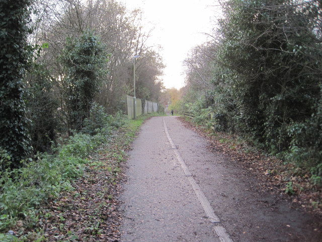
Whitchurch to Oswestry railway trackbed
View south west towards Fenn's bank and Oswestry. The line closed in 1965 and is now a path and cycleway.
 Map © Crown Copyright")
TIP: Click the map for more Large scale mapping
- Grid Square
- SJ5440, 48 images (more nearby 🔍)
- Photographer
- Nigel Thompson (more nearby)
- Date Taken
- Tuesday, 24 November, 2015 (more nearby)
- Submitted
- Tuesday, 24 November, 2015
- Subject Location
-
OSGB36:
 SJ 5479 4090 [10m precision]
WGS84: 52:57.8129N 2:40.4719W - Camera Location
-
OSGB36: SJ 5485 4093
- View Direction
- West-southwest (about 247 degrees)