2015
SP7656 : Berry Lane
taken 8 years ago, near to Wootton, West Northamptonshire, England
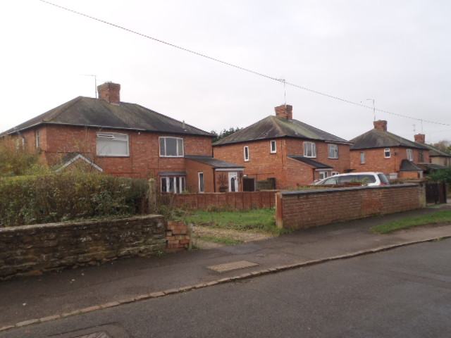
Berry Lane
1930s council houses in Wootton.
 Map © Crown Copyright")
TIP: Click the map for more Large scale mapping
- Grid Square
- SP7656, 34 images (more nearby 🔍)
- Photographer
- Burgess Von Thunen (more nearby)
- Date Taken
- Thursday, 26 November, 2015 (more nearby)
- Submitted
- Thursday, 26 November, 2015
- Subject Location
-
OSGB36:
 SP 7613 5629 [10m precision]
WGS84: 52:11.9757N 0:53.2514W - Camera Location
-
OSGB36: SP 7615 5630
- View Direction
- Southwest (about 225 degrees)