2015
TA0928 : Prince's Dock Street, Kingston upon Hull
taken 8 years ago, near to Kingston Upon Hull, England
This is 1 of 60 images, with title Prince's Dock Street, Kingston upon Hull in this square
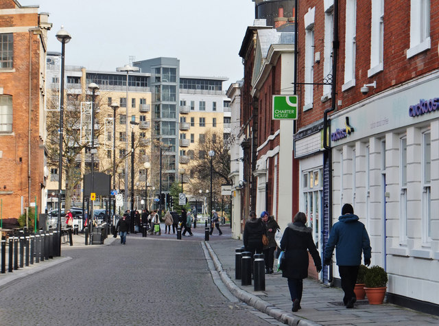
Prince's Dock Street, Kingston upon Hull
Looking north along Prince's Dock Street with, in the background, Queen's Court, No.50 Dock Street, occupied by the B.B.C. and apartments.
Public Right of Way No.25 extends 260 metres along the eastern side of Prince's Dock Street between Castle Street and Whitefriargate.
Information on the City Council's 'Rights of way improvement plan 2009 - 2019': Link
Public Right of Way No.25 extends 260 metres along the eastern side of Prince's Dock Street between Castle Street and Whitefriargate.
Information on the City Council's 'Rights of way improvement plan 2009 - 2019': Link
 Map © Crown Copyright")
TIP: Click the map for more Large scale mapping
- Grid Square
- TA0928, 6575 images (more nearby 🔍)
- Photographer
- Bernard Sharp (more nearby)
- Date Taken
- Monday, 23 November, 2015 (more nearby)
- Submitted
- Friday, 27 November, 2015
- Subject Location
-
OSGB36:
 TA 0972 2889 [10m precision]
WGS84: 53:44.6909N 0:20.2660W - Camera Location
-
OSGB36: TA 0971 2865
- View Direction
- NORTH (about 0 degrees)